The Park That Gave River Rim Its Name Doesn't Want You In the Water
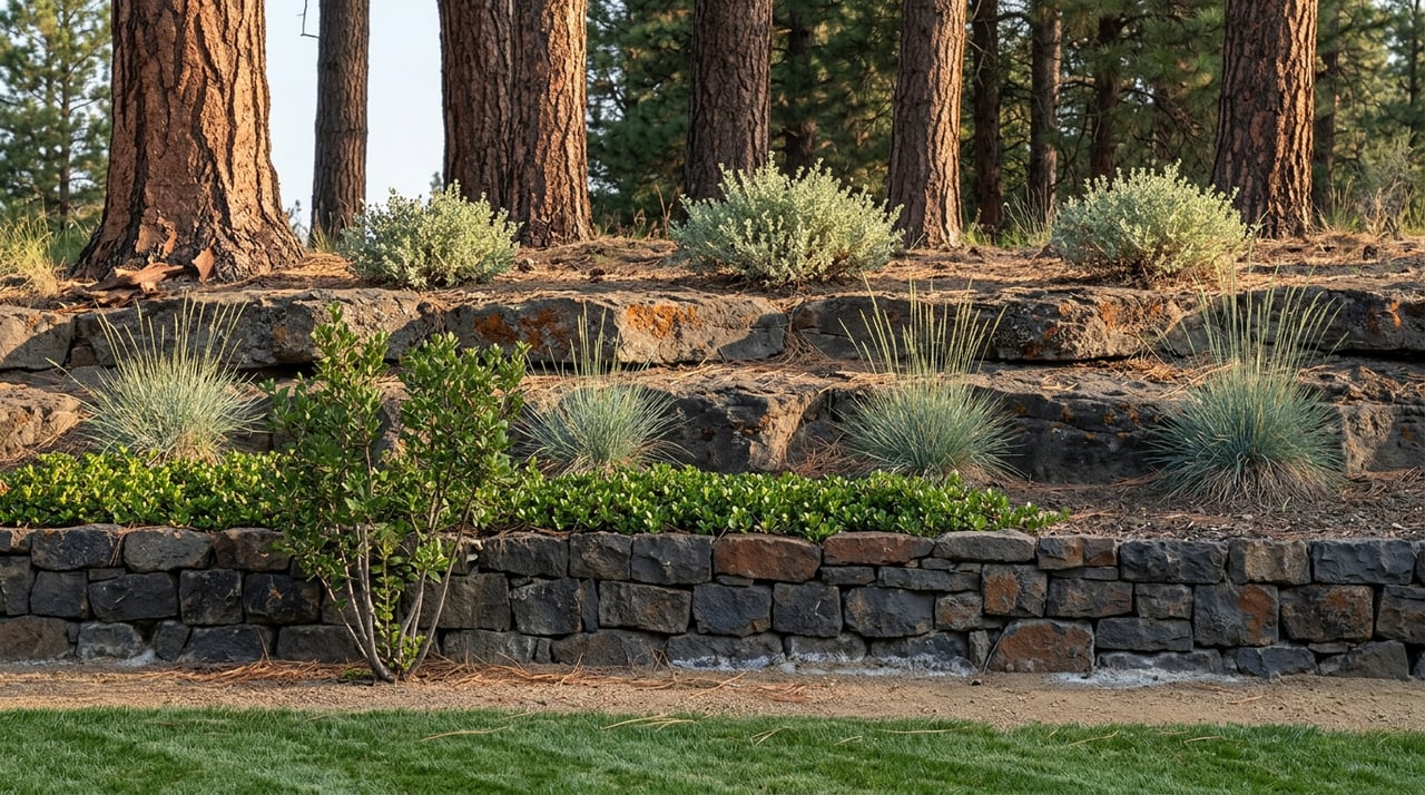
Walk to the end of most streets in River Rim and the pavement runs out before the ground does. You'll hit a gravel apron, a wood rail, and a sign from Bend Park and Recreation District explaining what you're looking at: three natural shelves stepping down toward the Deschutes, with sweeping views up and down the canyon. Read the next line and the invitation closes as fast as it opened. This site is not intended for river access and floating, the sign notes, citing hazardous falls and rapids downstream. Access is at your own risk.
That's the whole personality of River Rim Park Site in one plaque: come look, don't come down. For a neighborhood that borrowed its name from that exact bluff, it's a strange arrangement, and it's the thing almost nobody explains to people who already live here. You didn't move next to a swimming hole. You moved next to a scenic overlook that Bend Park and Recreation District is deliberately keeping unfinished, and that unfinished state changes how your actual river days should get planned.
River Rim Park Site shows up in Bend Park and Recreation District's records as undeveloped, full stop. The agency describes it as providing for future riverfront park development and improved connections to the Deschutes River Trail, which is planning language for "not yet." There's no ramp, no dock, no maintained trail down the shelves. What's there is topography: a natural staircase of rock ledges dropping toward moving water, with the kind of long sightline up and down the canyon that a built overpass could never match.
The park district's own caution is specific, and it's worth taking at face value rather than reading past it. The stretch of river below those shelves runs through terrain with genuine hazards, and the same page that describes the view also asks visitors to respect the surrounding neighborhood while using the site, since it sits tucked directly against residential lots. In practice that means the shelves work as a place to stand, not a place to launch a paddleboard or let a kid wade in. If you've been treating your neighborhood's namesake spot as a backup river access point for a hot afternoon, this is the detail that should end that plan.
The river access that matches what most River Rim households are picturing lives a few miles south, inside the Old Mill District, at Riverbend Park and Farewell Bend Park. Bend Park and Recreation District built additional river access there in 2024, adding stone-terraced entry points on the west bank between the Farewell Bend Bridge and the Bill Healy Bridge specifically because summer demand had outgrown the original landings. That's the destination for floating, swimming, and the kind of casual river afternoon River Rim's name suggests. It's a drive or a longer bike ride, not a walk out your gate, and knowing that up front saves a wasted trip to your own park's edge on a Saturday morning with a cooler already loaded.
The more useful daily asset sitting behind River Rim isn't the shelves themselves. It's the Deschutes River Trail's Awbrey Reach, the segment that runs north from Sawyer Park along a route built on top of the old, buried Tumalo irrigation canal. This reach carries a few moderate hills, then climbs the canyon wall high enough to open up views of the river below, Riley Ranch Nature Reserve across the water, and the Cascades in the distance. It's the version of "river views from your neighborhood" that's already finished and open every day.
Here's how the segments around River Rim actually break down, based on how Bend Park and Recreation District organizes the full 12-mile trail system:
Reach | Surface and character | What it means for you |
|---|---|---|
Awbrey Reach | Gravel, moderate hills, canyon-wall views | Starts north of Sawyer Park, ends inside the Awbrey Glen neighborhood, no crossing to Riley Ranch |
Old Mill Reach | Wide, paved, wheelchair accessible | The social, business-adjacent stretch, several miles south |
South Canyon Reach | Wilderness dirt trail | Located south of Reed Market Road, a different drive entirely |
The detail that catches people off guard is the ending point. The Awbrey Reach doesn't loop back or dead-end in River Rim. It runs its course and finishes inside Awbrey Glen. You'll be on a trail that starts near your own park, and by the time the good views show up, you're technically walking through the next community over. That's not a complaint about the trail. It's just the shape of the map, and it's useful to know before you set an out-and-back distance in your head that assumes the good part of the walk stays local.
A few specifics from Bend Park and Recreation District apply directly to anyone using this stretch, and they're easy to get wrong if you're assuming the whole trail plays by one set of rules.
None of these rules are unique to River Rim, but they're the ones that actually govern the stretch of trail your neighborhood sits closest to, which makes them worth knowing cold rather than discovering mid-walk.
River Rim's name points at a feature the neighborhood is asked to admire rather than use. The shelves at River Rim Park Site are real, the views are real, and the site is real Bend Park and Recreation District property with a plan for eventual development sitting on the books. What isn't there yet is a safe way down to the water, and the agency has been direct about why. For now, the water stays a backdrop, and the actual river day belongs to Riverbend and Farewell Bend Park in the Old Mill District, a short drive south.
What's fully open and finished right now is the Awbrey Reach, a canyon-wall walk with real Cascade views that starts near Sawyer Park and hands you off to Awbrey Glen before it's done. That's the walk to build a Tuesday evening around. The shelves are the walk to build a five-minute stop into, on your way to somewhere else, to look at the river you're not supposed to climb down to yet.
If you're weighing a move into River Rim or comparing it against other west-side pockets like Awbrey Glen or Shevlin Ridge, this is the kind of on-the-ground detail that doesn't show up on a listing sheet. Bend Lifestyle REALTORS® spends as much time walking these trails as showing these houses, and we're glad to talk through what a specific address actually connects to, whether that's a resident asking what their home is worth in today's market or a friend of yours wondering if this corner of Bend fits the way they live. Reach out any time you want the real map, not the sales version.
Buyer Tips
It's one of the biggest quiet forces shaping Bend's housing market. Here's what it is and why it matters to buyers.
Bend Home Prices
One of the most stressful moments in a purchase, explained calmly, before it happens to you.
Buying in Bend
The bidding-war frenzy has cooled, but the best homes still draw competition. Here's how to be the offer that wins.
Family
In one of the most dog-loving towns in the country, the trails are half the reason people (and their pups) never want to leave.
Bend Real Estate
If you're buying land or an acreage property near Bend, water rights may matter as much as the house. Here's the plain-English version.
Bend Home Prices
Oregon's property tax system confuses almost every newcomer. Here is how it actually works in Deschutes County.
Buying in Bend
There is a reason so many Bend second-home searches start in July. Here is how to think it through.
Whether we’re working with first-time home buyers, seasoned investors, new residents to Bend, or anyone else, we want to help them find their ideal properties.

Rachel Greenwald Rhoads
Shana Sellers
Bend Premier Real Estate
Address
550 NW Franklin Ave Ste 108
Bend OR 97703