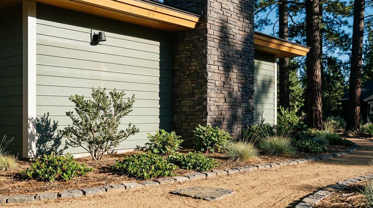
The North Side of Shevlin Park Is the One Changing, and Shevlin Ridge Sits Right on Top of It
For most of Bend, Shevlin Park means the south entrance off Shevlin Park Road, the Aspen Hall lot, the footbridge, the Loop Trail heading up canyon under the ponderosas. That is the postcard version, and it is the version the district has managed the longest. If you live in Shevlin Ridge, that is not really your park.
Your park is the north end, the one you reach through a gate at the back of the neighborhood or a short walk down the shoulder. And the north end is the piece of Shevlin that Bend Park & Recreation District is quietly rewriting right now.
In April 2026, BPRD staff briefed the Park Board on a refined trail plan for the north side of Shevlin Park. It was a work session, not a vote. The premise is worth paying attention to if you live along the north perimeter: staff are working out which of the informal trails should be adopted as official routes, where legitimate access points should be sited, and how to restore areas that have been eroded by use that was never planned for.
Three questions are in play at once:
None of those are abstract for a Shevlin Ridge resident. They shape which path you can keep walking to the creek, whether a formal trailhead lands within a five-minute walk of your door, and whether the shoulder parking situation your out-of-town guests use in October is still an option next year.
The south side of the park has always drawn the crowds, in part because BPRD built it that way, and in part because of parking. The change in recent years is that neighborhoods on the north edge, including Skyline Ranch and the newer development belt Shevlin Ridge is part of, keep pushing more daily users into the north side of the canyon. That growth is what created the user-created trails and the roadside parking along Shevlin Park Road that staff are now trying to formalize.
Read the plan sideways and it is really an argument about capacity. The park is nearly 1,000 acres. The Loop Trail is 6 miles along the canyon rim. The Tumalo Creek Trail runs 2.5 miles up creek and hands you off to the Deschutes National Forest trail system. The district has been running fire management on 30 to 50 acres a year, a program that traces back to the 1990 Awbrey Hall Fire and involves thinning, mowing, and small prescribed burns. All of that infrastructure was scaled for the historic distribution of visitors, which was heavily weighted south. The north side is catching up faster than the trail map is.
None of this is stopping anyone from using the park this month. If anything, August is the moment to pay attention to the north-side routine before the plan starts putting stakes in the ground.
A few dates worth marking:
| Date | What | Where |
|---|---|---|
| Aug. 7 | Movies in the Park | BPRD programming |
| Aug. 12, 9:30–11 a.m. | Nature Kids: Teddy Bear Picnic (free) | Shevlin Park |
| Aug. 22, 10 a.m.–12 p.m. | Forest Bathing: Rest, Restore, Reconnect ($40, Rooted Presence) | Shevlin Park |
The Shevlin Park fishing pond, which sits on the east side of Shevlin Park Road next to Aspen Hall, is back in service after a targeted closure May 11–15 when crews pulled years of weed and plant buildup by hand. Park Services Director Sasha Sulia framed the choice as a deliberate move away from a full dredge, which was last done in 2010 and, per the district, damaged the bank habitat. The pond stays open to anglers 17 and under and to anglers with disabilities. The limit is two fish per day, eight-inch minimum, and during events at Aspen Hall fishing is restricted to the east bank across the footbridge. That is the kind of detail that only matters if you actually go, which is exactly the point.
For anyone who prefers to be a maintainer rather than a user, BPRD's next volunteer trail work day at Shevlin was scheduled for June 13, part of a season that also included a July 11 Deschutes River cleanup with the Upper Deschutes Watershed Council and an Oct. 3 native planting project at Riley Ranch Nature Reserve. Advance registration through the district's volunteer signup page is encouraged. If the North Shevlin plan concerns you in either direction, showing up on a trail work day is a more productive way to weigh in than a comment card.
When you live on the north edge, the standard advice to "park at Aspen Hall" is not really the point. The trail network is designed so you can drop in from multiple directions and stitch together a loop.
Two rules the district asks residents to hold to that will matter more once trails are formalized: dogs on leash at all times on all Shevlin Park trails, and pedestrian-only sections observed as posted. Bikes and dogs are excluded from certain trails to protect deer and elk winter range in the southern part of the park. The refined north-side plan is likely to add more of that kind of segmentation, not less.
The reason the park has a heavy south end and a light north end is not accidental. Shevlin was born on the south side. In November 1919, F.P. Hixon, president of the Shevlin-Hixon lumber company, announced the firm would donate its land in Tumalo Creek Canyon for a park. That was on top of a 13.5-acre parcel the company had given earlier in the year for a fish hatchery, the ground that is now Aspen Hall and the fishing pond. Shevlin-Hixon owned more than 200,000 acres in Central Oregon at the time. The park started at 350 acres and grew to roughly 1,000, most recently through Miller Tree Farm acquisitions supported by a 2016 Community Forest Grant.
Fremont Meadow, the interpretive loop's starting point, is named for John C. Fremont's 1843 expedition camp, which passed through the canyon with Kit Carson, cartographer Charles Preus, and a 19-year-old Billy Chinook, later a Wasco chief. The park's first structure, the Fish Hatchery Building, burned in 1987 and was rebuilt as Aspen Hall in 1988. That is the anchor at the south end. The north end has no equivalent anchor. That is precisely why the current plan matters.
Two shifts to expect once the district moves from work session to implementation.
The first is that some of the paths you have been using may get promoted to signed, mapped trails, and others may be closed and rehabilitated. If your favorite route to the creek is a user-created one, it is worth walking it in August with the plan documents open, because next August it may not be an option. The second is that shoulder parking along Shevlin Park Road is on borrowed time. When formal access points come in, they come with formal parking, and the district's usual pattern is to close informal pull-offs once a designated lot exists. That is generally a quality-of-life win for the neighbors closest to the current pull-offs, and a small inconvenience for anyone who has been using them.
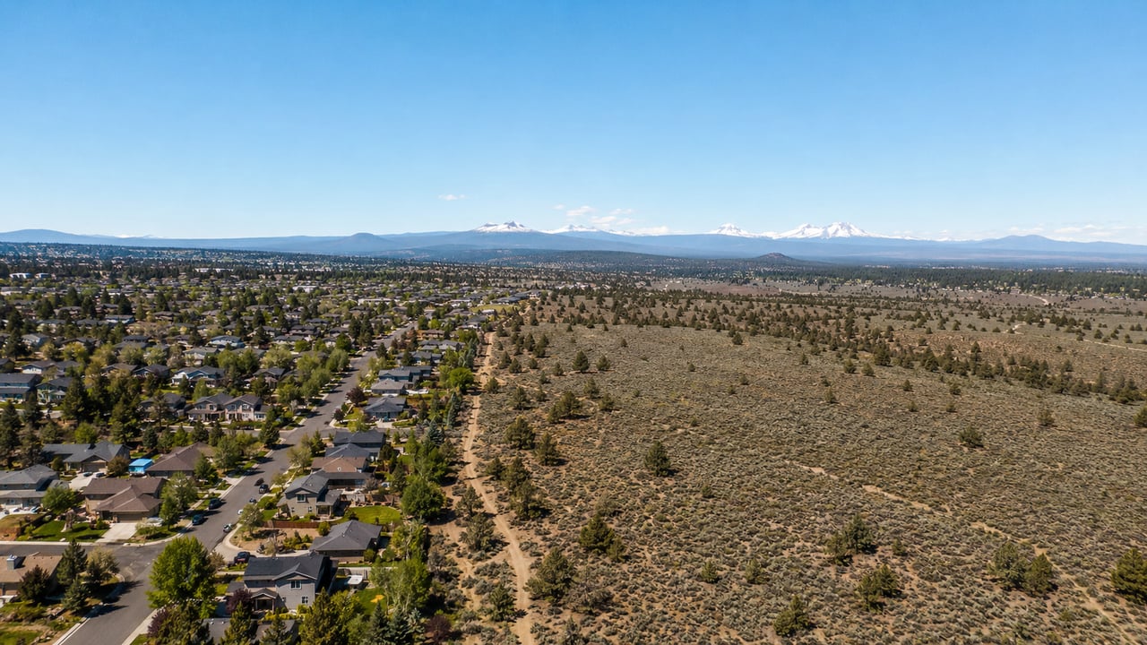
The through-line is this. Shevlin is often called the crown jewel of the park district, four miles from downtown, an old-growth canyon woven into the west side. For most of Bend, that description points south. For Shevlin Ridge, the crown jewel is being remade on the side of the park you can see from your kitchen window, and the decisions made in the next twelve to eighteen months will shape what "walking to the park" means from this address for the next decade.
If you are thinking about how a home on this edge of Bend fits into a life that runs through Shevlin, that is exactly the conversation we like to have. Reach out to Bend Lifestyle REALTORS® and let's map it together, trail by trail.
Buyer Tips
It's one of the biggest quiet forces shaping Bend's housing market. Here's what it is and why it matters to buyers.
Bend Home Prices
One of the most stressful moments in a purchase, explained calmly, before it happens to you.
Buying in Bend
The bidding-war frenzy has cooled, but the best homes still draw competition. Here's how to be the offer that wins.
Family
In one of the most dog-loving towns in the country, the trails are half the reason people (and their pups) never want to leave.
Bend Real Estate
If you're buying land or an acreage property near Bend, water rights may matter as much as the house. Here's the plain-English version.
Bend Home Prices
Oregon's property tax system confuses almost every newcomer. Here is how it actually works in Deschutes County.
Buying in Bend
There is a reason so many Bend second-home searches start in July. Here is how to think it through.
Whether we’re working with first-time home buyers, seasoned investors, new residents to Bend, or anyone else, we want to help them find their ideal properties.

Rachel Greenwald Rhoads
Shana Sellers
Bend Premier Real Estate
Address
550 NW Franklin Ave Ste 108
Bend OR 97703