The River Trail on Awbrey Butte Never Actually Touches the River
Walk the Deschutes River Trail's Awbrey Reach on a clear fall morning and you'll see it before you understand it. Across the canyon, the trails of Riley Ranch Nature Reserve trace the opposite rim, close enough that you can watch other hikers move along the ridge. It looks like a loop. It looks like if you just kept walking, the trail would curl around and drop you onto that far bank. It won't. Bend Park and Recreation District is blunt about this on its own trail page: there is no access across the river to Riley Ranch Nature Reserve from this stretch. You can look at it. You cannot walk to it, not from the Awbrey side, not at any point along the reach.
That single fact reshapes how you should actually plan a fall outing from Awbrey Butte, and it's the kind of detail that only shows up once you've walked the trail rather than read a brochure about it.
The Awbrey Reach segment of the Deschutes River Trail is built on top of the old Tumalo Feed Canal, the irrigation ditch that used to run along this slope before a pipeline project replaced it. The trail stays high on the canyon wall the entire way, which is why the views are so good and why you never actually get down to the water. Interpretive signs along the route explain the old canal project if you want the history. The route includes a few moderate hills, nothing technical, and it ends at the edge of the Awbrey Glen neighborhood, which is private property. There's no through street, no bridge, no continuation. It's an out-and-back, whether you planned on one or not.
If you start from the neighborhood side, the connection point most residents actually use is the Archie Briggs Canyon Trail, which crosses Mount Washington Drive and links the internal Awbrey Butte trail network to the river trail below. Oregon Hikers has mapped the sequence in detail: start at Sylvan Park, where the playground and picnic area open onto sweeping views of Bend, pick up the Summit Sylvan Trail as it climbs past the fenced communications towers near the top of the butte, and work your way down through Summit Park before you reach Mount Washington Drive and cross into Archie Briggs Canyon Trail territory. From there, a steep descent through junipers and pines drops you onto the river trail proper.
One stretch worth timing for a clear fall day: past the crosswalk at Archie Briggs Road, the trail curves and the view opens to the northwest, with Black Crater, Mount Washington, and Mount Jefferson all visible at once. That's the payoff for the climb, and it's a view you don't get if you turn around too early.
The practical takeaway is simple. This is a there-and-back walk, not a loop, and the reward is elevation and mountain views, not river access. If you're taking guests who expect to end up standing next to water, redirect them. If you're taking your own dog for a quiet fall morning, this is close to perfect. Bend Park and Rec's rules apply here like everywhere else in the city: trails are open from 5 a.m. to 10 p.m., and dogs need to stay leashed.
Neighborhood guides for Awbrey Butte like to describe Phil's Trailhead as being just to the west, and technically that's true on a map. What that framing skips is that it isn't a trail you walk to from your driveway. Phil's Trail Complex is managed by the Deschutes National Forest, not Bend Park and Rec, and getting there means driving or riding a few miles out NW Galveston Avenue as it becomes Skyliners Road, then onto Forest Road 4601 to the trailhead. It's a short trip, but it's a different trip, on a different trail system, run by a different agency, with a different character entirely.
Fall is genuinely the best time to make that trip, and this isn't a marketing line. Visit Central Oregon's own guide to the trail complex points out that a fall ride is especially rewarding because summer dust has settled, solitude is easier to find, and the forest picks up color. If you've only ever ridden Phil's in July, you're getting the crowded, dusty version. September and October give you the quiet one.
The trail system itself has enough range that it works for almost anyone once you're out there:
A common intro route links Ben's up and Phil's down for an out-and-back of roughly 11 miles, typically taking 50 minutes to an hour and a half depending on pace. It's a reasonable benchmark ride if you want to gauge how the fall conditions compare to your last summer visit.
Here's where the two systems fit together into something you can actually use, rather than two disconnected facts about trails near your house.
Start early at Phil's while the morning air is still cool and the trail hasn't dried into dust. Ride the Ben's-Phil's loop, or push further into Marvin's Garden and Kent's if you're breaking in a new rider. Head back into the neighborhood by late morning.
From there, the Awbrey Village Shopping Center, at the corner of NW Mount Washington Drive and Summit Drive, covers the reset. It's a working shopping center built for daily errands rather than tourists, with a grocery store, a bank, and a handful of restaurants and cafés in the same lot. It's the kind of stop that doesn't photograph well for a listing but matters enormously for how a Tuesday actually runs.
Save the afternoon for the walk you can do without a car. Sylvan Park to Summit Sylvan Trail to Archie Briggs Canyon Trail down toward the Awbrey Reach works as a shorter out-and-back than a full ride, and it's the version of the neighborhood you'd want to show someone who's never seen it before. Just remember it dead-ends. Turn around when the view opens up toward Black Crater and Mount Washington, or whenever your legs say so.
Close the day at the Awbrey Glen Golf Club clubhouse, which runs a restaurant and bar open to the broader Awbrey Butte community as a dining spot, with the kind of mountain view that makes the last stop of a long day worth the walk in.
None of this requires a car once you're past the Phil's leg, and none of it requires knowing anything about real estate. It's just what a fall Saturday actually looks like when you live here and know which trail goes where.
Awbrey Butte rewards the kind of local knowledge that doesn't show up on a map: which trail ends where, which season actually clears the dust, which shopping center corner has the bank next to the coffee. If you're weighing a move here, or already live on the butte and are curious what your home is worth in today's market, Bend Lifestyle REALTORS® knows this neighborhood at trail level, not just listing level. Book a free consultation and home valuation whenever you're ready to talk specifics.
Bend Lifestyle
Mountain Biking in Bend: A Guide from Beginner to Advanced
Sisters
Twenty minutes from Bend, a world apart. Here's what people who love Sisters actually love about it.
Bend Lifestyle
Every place has things you can do there. Bend has things you can only really do here.
Bend Neighborhoods
Everyone knows Northwest Crossing and Old Bend. Here are the neighborhoods that fly a little quieter and often deliver more.
Bend Lifestyle
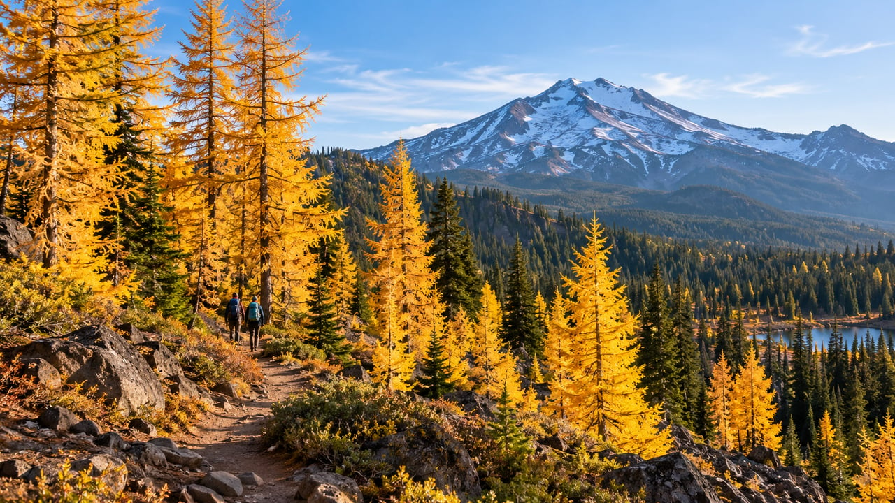
Summer gets the crowds. Fall gets the color. Here's where to find it in Central Oregon.
Whether we’re working with first-time home buyers, seasoned investors, new residents to Bend, or anyone else, we want to help them find their ideal properties.

Rachel Greenwald Rhoads
Shana Sellers
Bend Premier Real Estate
Address
550 NW Franklin Ave Ste 108
Bend OR 97703